



Namwano Sylivia, a doctoral candidate at Nkumba University, has developed an innovative technology-driven model that could significantly improve landslide detection and early warning systems in Uganda’s disaster-prone communities.
During her PhD Viva Voce held on Friday, June 5, 2026, Sylivia presented her research findings and defended a scalable solution dubbed the Landslide Early Warning Model (LEWaM), a system designed to detect environmental conditions associated with landslides, predict potential occurrences, and issue timely alerts to communities at risk.




Namwano described landslides as “natural disasters that cause loss of lives and livelihoods,” emphasizing the urgent need for effective monitoring mechanisms. “Detecting them is difficult, but again, it is an important task in reducing their impact by monitoring the environmental conditions,” she explained.
Uganda’s mountainous regions, particularly in the eastern districts of Bududa, Manafwa, Sironko, Bulambuli, and Namisindwa, have experienced recurring landslides over the years, resulting in deaths, displacement of communities, destruction of property, and loss of livelihoods. Experts have long cited inadequate monitoring and delayed warning systems as major challenges in disaster preparedness and response.
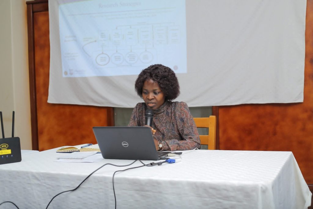
Sylvia Namwano, PhD Candidate
Against this backdrop, Namwano’s research proposes a comprehensive model that integrates community observations, field sensors and historical data to provide real-time landslide risk assessments and early warning alerts.
“I glad to present to you a model simulated using a prototype that can effectively detect the factors that contribute to a landslide, predict the likelihood of a landslide, and warn communities at risk, providing them with ample time to move to safe zones,” she told the panel.
According to the researcher, LEWaM operates using three key sources of information: observatory data, sensor data and historical data.
The observatory data is generated by community members through a USSD platform and a web application, enabling residents to report unusual environmental conditions and observations from the ground. “This data is reported by the communities using the USSD and web app. The community is reporting what they are seeing on the ground,” Sylvia explained.
The second component involves sensor data collected from devices installed in the field. These sensors continuously monitor critical environmental indicators such as rainfall intensity, soil moisture, water volume and vegetation conditions.
Demonstrating the prototype, Namwano showed how the system automatically detects rainfall and tracks changes in environmental parameters that could signal increased landslide risk.”The rainfall sensor detects that there was rain. The readings of other sensors are changing, like water volume and soil moisture. If there is burning vegetation, the administrator is notified, and the user gets to know through an SMS,” she said.
The third component comprises historical data, which is used to train the model through machine learning algorithms. By analysing past environmental patterns and disaster events, the system learns to identify conditions that typically precede landslides.
Using a colour-coded alert mechanism, the model communicates risk levels to both administrators and community members. Blue indicates normal conditions, green signals a warning stage, while red signifies imminent danger. “For normal conditions, the light is blue; for warning conditions, the lights are green; for danger conditions, the lights are red,” noted Sylvia .
When dangerous conditions are detected, the system activates sirens and sends SMS alerts directing residents to move to designated safe zones.
The model also enables administrators to monitor events as they unfold, track the source of incoming data using GPS coordinates and access real-time information from sensor nodes deployed in the field. “The administr